Hiking, Walking, Nature Trekking
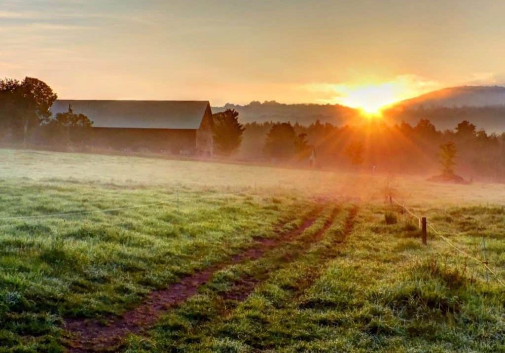
The Mad River Valley Trail Network is a watershed-wide collection of lands and trails created through the partnership of trail organizations, generous property owners, local towns, the State of Vermont, the US Forest Service, and many volunteers. These trails reflect the Mad River Valley’s love of the outdoors and commitment to stewardship of land and recreational opportunities for current and future generations.
These trails are a friendly playground for recreation throughout the year, including: mountain biking, hiking, walking, cross-country skiing, back-country skiing, snowshoeing, snowmobiling, picnicking, kayaking and canoeing, birding, and more.
Here are a few of our favorite walks, hikes and rambles;
Walks & Rambles
- Blueberry Lake Recreation Trails – The Blueberry Lake trails are very popular for hiking and trail running. They were also designated in 2013 as an International Mountain Bike Association Model Trail-Gateway network and are great for beginning bikers.
- Kingsbury’s Greenway -1.3 mile trail connects the Warren Riverside Park to the Sugarbush snowmaking pond on the Mad River. Managed and maintained by the Mad River Path Association.
- Waitsfield Country Road Loop – A moderate, 5 mile loop, elevation gain 500’ (paved and dirt roads)
- Fuller Hill & Warren Village – 7.5 mile road-walk loop that starts in Warren Village.
- The Warren Path – Moderate, 2 miles out and back, elevation gain 420’. It The features easy grades in a beautiful mixed hardwood forest, then some more challenging steep sections on the Vista Trail. The view is well worth the effort. Managed and maintained by the Mad River Path Association.
- Mill Brook Path – The Mill Brook Trail This pretty trail takes you through a hemlock forest and a deer yard. It is wooded, and although not very long, rolls up and down moderately steep hills which makes it more vigorous than its length would suggest. The path is narrow with a series of wooden footbridges and rocky terrain underfoot..
- North Fayston Walk -Easy, 4 mile loop, elevation gain 540’, (dirt roads). A fun back road loop on North Fayston, Center Fayston and Randall roads, with nice views of Burnt Rock Mt. and the high valley.
- West Hill Loop – This 5-mile loop will take you on a ramble through back-country roads with good views along the way
Moderate Walks & Hikes
- Bragg Hill Walk – Moderate, 4 mile loop, elevation gain 850’ (paved and dirt roads)
- Molly Stark’s Balcony – 2.6 mile round-trip hike that gains over 500′ of elevation with a fabulous western viewDay Hikes
- Boyce Town Forest
An easy 1.2 mile walk up a grass service road. Perfect for families, toddlers, and/or easy going terrain. Great views almost the whole way up, clear with little tree-cover.
Longer Day Hikes
- Burnt Rock Mountain – The Hedgehog Brook Trail is a steep, 5.2 mile round-trip hike that connects with the Long Trail .6 miles from the summit. It’s rocky and craggy up top and it offers some of the best views in the MRV.
- Mt. Abraham (from Lincoln Gap via Long) – The Lincoln Gap to Mt.Abraham portion of the Long Trail is a challenging hike to one of the most impressive summits in New England.
- General Stark Mountain (via Long Trail) – A 6.2 mile round-trip hike through forest across the top of Mad River Glen to the summit of General Stark Mountain. Begin at the Appalachian Gap and hike south.
- General Stark Mountain from the base of Mad River Glen Ski Area – This 5.8 mile round-trip meanders up 2,000′ of vertical rise on the beautiful ski trails of Mad River Glen.
- Camel’s Hump Loop (from Duxbury side) – This challenging and spectacular 6.4 mile round-trip, loop hike takes you above the trees to the 4,083′ summit of Vermont’s highest undeveloped peak.
- Camel’s Hump (from Huntington Side) – A 6 mile round-trip loop trail to the summit of Camel’s Hump approaches the mountain from the west. Camel’s Hump is the third highest peak in the state offering unbeatable views in every direction.
- Long Trail Gap to Gap – The MRV’s “Full Monty”! A full day, or overnight, and 11.6 miles along the Long Trail will take you to the Summit of Mount Abraham, across the top of Lincoln Peak, Mount Ellen, and General Stark Mountain and end with an exciting descent to Rt. 17 and the Appalachian Gap.