Burnt Rock Mountain
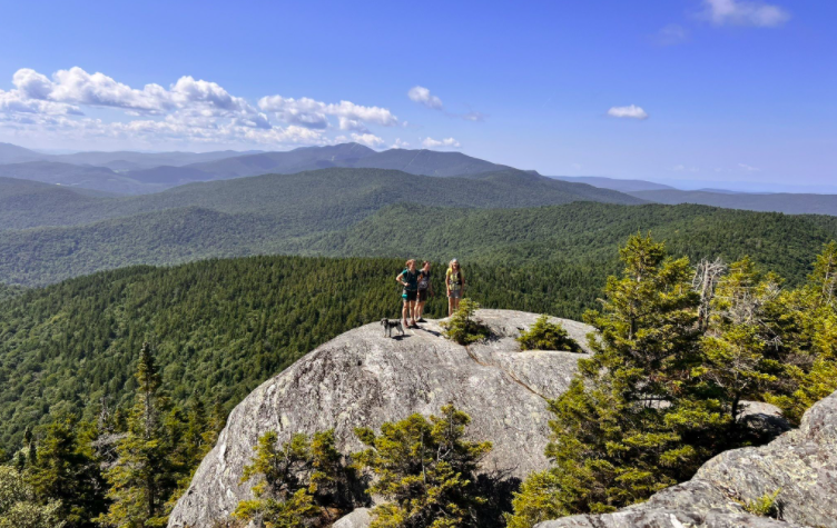
A steep, 5.2 mile round-trip that takes you up to some of the best viewing on the Long Trail. The trail begins at the parking lot at the end of Big Basin Road before the steel pipe gate. You follow the Hedgehog Brook Trail along a stream. The trail ascends gently at first, becoming steeper as you get higher. After 2.5 miles, it joins the Long Trail. Shortly after joining the Long Trail, a short spur trail to the left leads to a small glacial pothole, one of the largest in New England. Burnt Rock Mountain is named for the fact that the bare summit, at only 3168′, is well below the scrub line. The fantastic views take in peaks and ranges visible in most directions, including Camel’s Hump and the Allens. Descend by the same route.
Generally considered a challenging route. This trail offers a shaded route up, mostly on dirt and rocky terrain with increasing granite slabs you will hike across as you near the top. The main technical challenge is water. The slabs are very slippery when wet and water will flow down the trail after heavy rains. There are a few stream crossings along the way.